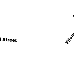
16 WHITMAN ST
Owner Information
RYDER DEVELOPMENT CORP
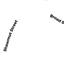
668 BROAD ST UNIT D
WEYMOUTH, MA 02189


Property Details
16 WHITMAN ST is classified as a Single Family Residential (Conventional).
The primary structure on this property was built in 1893. There are 2,038ft2 of built area within this property. There is 2,038ft2 of residential/living space within this property. This property is listed as having 6 rooms.
16 WHITMAN ST is valued at $465,800. The land is valued at $175,400 and the structures are valued at $283,500. There is an additional valuation of $6,900 on this property.
The most recent deed for 16 WHITMAN ST is recorded at the local registrar in Book 37920, Page 71. 16 WHITMAN ST was last sold on Thursday, May 28, 2020 for $330,000.
Assessment data from fiscal year 2022.
Flood Data
According to the FEMA National Flood Hazard Layer, this property does not appear to be in a flood zone. It may also be in an area not yet reviewed. Nonetheless, confirm this information prior to taking any action.
To view the flood hazards around this property, create a FEMA "Firmette" Map of the area around 16 WHITMAN ST.
Broadband Internet Providers
| Provider | Type | Bandwidth (mbps) | |
|---|---|---|---|
| VSAT Systems, LLC. | Satellite | 2 | 1 |
| Verizon New England Inc. | DSL | 15 | 1 |
| Viasat Inc | Satellite | 100 | 3 |
| Comcast | Cable | 1000 | 35 |
| T-Mobile | Fixed Wireless | 25 | 3 |
| GCI Communication Corp. | Satellite | 0 | 0 |
| HughesNet | Satellite | 25 | 3 |
Broadband service provider data from December 2020.
Adjacent Properties
- 691 BROAD ST
Apartments with Four to Eight Units owned by 691 BROAD STREET LLC - 681 BROAD ST
Single Family Residential owned by PARECE MARGARET - 10 WHITMAN ST
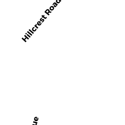
Two-Family Residential owned by ARENBURG FAMILY 10 WHITMAN TR - 0 HILLCREST RD
Accessory Land with Improvement owned by HU WANLI & ZHENG HONG TIC - 0 WHITMAN ST
Vacant, Selectmen or City Council (Municipal) owned by TOWN OF WEYMOUTH - 47 HILLCREST RD
Single Family Residential owned by FRY GLORIA ANN & CHRISTINE L